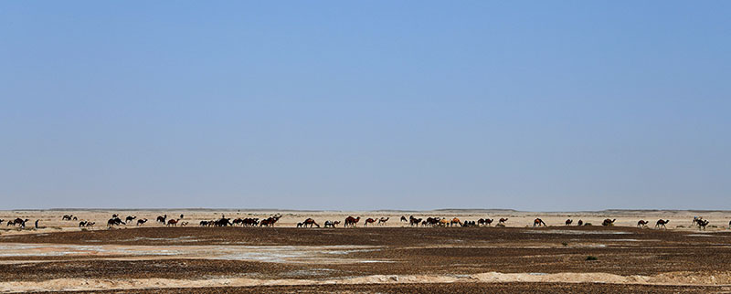
There are ancient roads in Iran. In the Achaemenid period (6th-4th century BC), the Persian empire was crossed by royal roads, punctuated by relay posts, ancestors of our modern post. Then, during the Islamic era, caravans took the same routes, along which caravanserais, lodges and fortified commercial relays were built over the centuries, built every 25 to 30km. In contemporary times, certain highways followed certain fundamental routes: the caravanserais which border them attest to the antiquity of these routes, trodden for centuries by travelers and caravans.
Iran is structured by two major axes: north-south (Shiraz-Isfahan-Tehran), and east-west (Tabriz-Tehran-Mashhad). They correspond to axes of power (Shiraz and Isfahan were capitals, Tehran still is), or to centuries-old routes: the east-west connection is one of the Silk Roads, born in the 2nd century BC. In Iran, taking certain roads means traveling through millennia-old history.
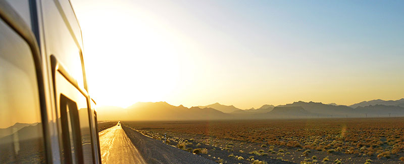
Isfahan Province. Photograph: ©Patrick Ringgenberg.